Solar drone inspections can help dealers save money and increase efficiency. But how do you know what to look for in a drone platform? Here are four key features—from penetrations to horizon reports —that solar companies should demand from a drone platform.
Automation and Ease of Use
Traditional site surveys have long been very manual tasks. Drone platforms allow surveyors to travel light, set up quickly, and scan and measure entire structures in just a few minutes, nearly tripling their overall output. But a drone by itself isn’t enough. You’ll need software that automated error and simple tasks for added speed. The
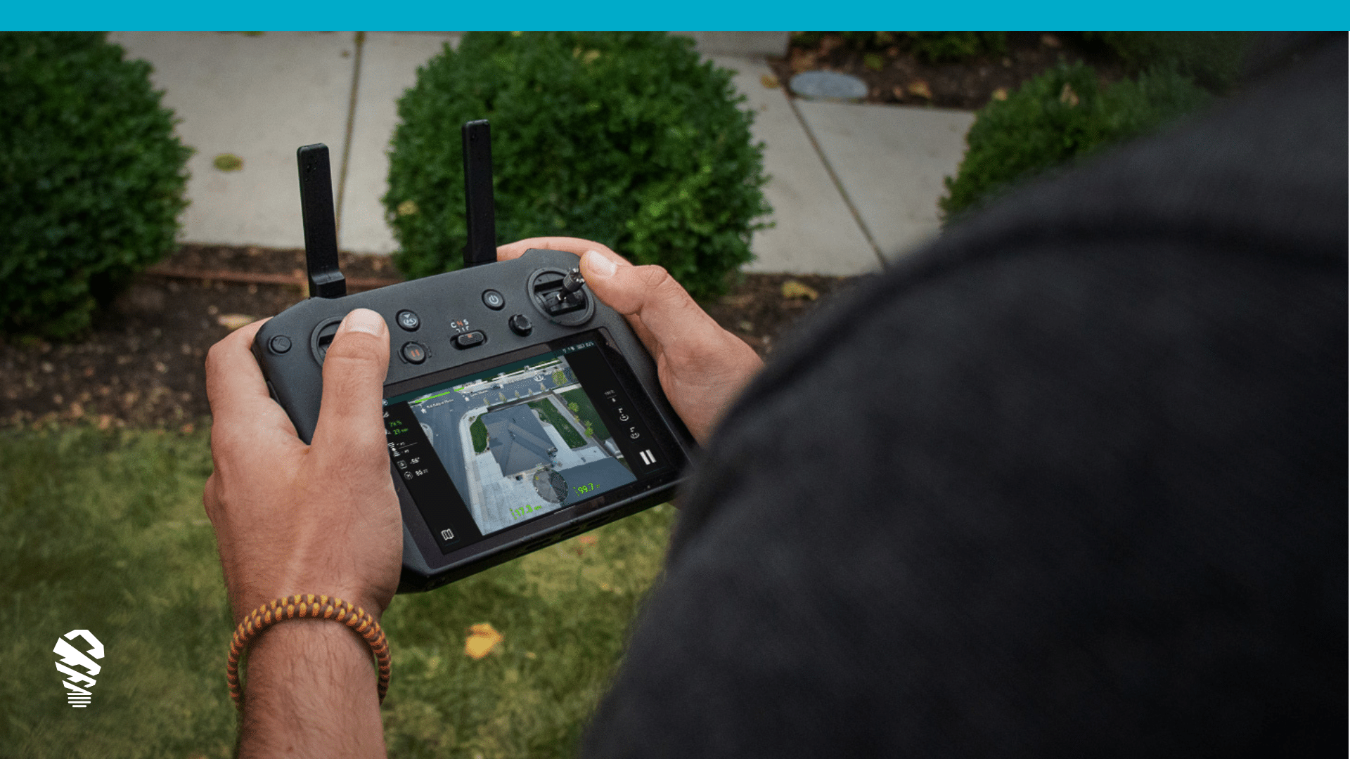
The first area you’ll want automation is automated drone flight. This cuts down tremendously from excess training and ensures consistency in every survey. You don’t need to be a Navy Top Gun to fly IMGING – it works automatically and takes takes photos for you. After obtaining a commercial drone pilot’s license and the right drone, the hardest part of site surveying becomes…outlining a roof on an iPad!
Consistent Accuracy in Measurements, Models, and Penetrations
Traditional site surveys rely too heavily on manual labor, taking time and introducing inconsistency. Results can vary by person, costing money to fix errors or leaving dollars on the table due to human error. With an automated solar drone inspection, these problems become virtually obsolete.
Each inspection includes dozens of ultra-high-res roof images that are used to create measurements, map penetrations, and auto-generate 3D models. The right provider will use artificial intelligence to identify damage and protect you from unwarranted future claims of damage. 3D models are used for DXF exports into CAD and detailed shading analysis, both of which we discuss later. Faster measurements and modeling for the surveyor means quicker turnaround for faster installs and no more operational bottlenecks at surveying and design.
Comprehensive Data
Design Data
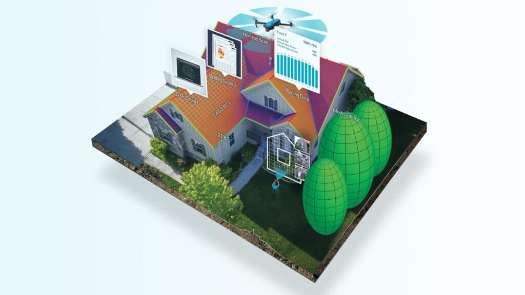
After a standard inspection, solar surveyors will deliver the data to a CAD designer, who will develop 2D digital renderings from the sketches. Alternatively, after a solar drone inspection, a platform such as IMGING will automatically create a 3D model and allow users to export that model as a flattened DXF file right into the CAD program. As a result, the time it takes to create and finalize designs is effectively cut in half.
Shading Data
Getting proper shading analysis for a PV system is no easy task. Instead of relying on dated satellite imagery, you’re smarter to demand the latest data—data that only a drone can collect. In addition to irradiance maps, TSRF calculations, and the usual, a drone-produced horizon report is a full 360° image capture of the horizon, at two altitudes. This method provides insight into current and future obstacles and can lead to new ways for an innovative drone platform to provide comprehensive shading analysis. In other words, keep an eye out for an exciting announcement from us later this year. Oh, and horizon reports are a patented feature available only in IMGING.
If the solar industry is a train moving full speed ahead, drone platforms are a dealer’s ticket to ride. By simplifying and streamlining the entire solar process from site survey to installation, drone platforms can save solar companies time and money, radically increasing their operational efficiency and putting them one step ahead of the competition. To learn how the right drone solution can help your business, visit lovelandinnovations.com/solar to learn more.
Get Started Hassle Free
We’ll help you with everything from getting certified to completing your first survey and shade analysis.

