The solar industry is booming, and based on discussions we’ve had with solar pros, the tough thing right now isn’t necessarily making more sales, it’s handling everything that needs to happen after a homeowner decides to invest. Site surveys, modeling, planning, and installs are a bottleneck for many solar providers, and they’re on the hunt for ways to get more done, fast. The solution? Drones for solar site surveys.
Automated drone tech is a great way to speed up the process of planning for solar panels on homes. When it comes to measuring roofs and generating 3D models for CAD, you can’t find a much better fit. Here are few ways drone tech can amp-up your solar planning process using drones.
Automated Drone Surveys
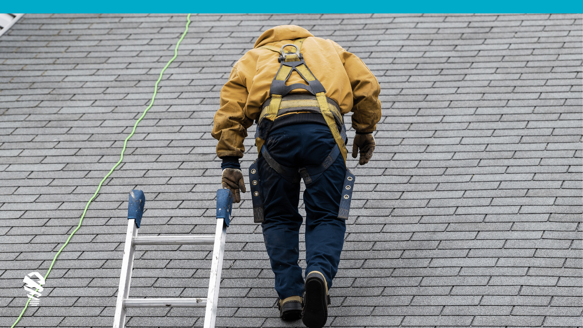
Completely surveying a home, gathering measurements, drawing diagrams, locating penetrations, and including exact measurements can take 90 minutes or more using traditional methods. If a roof is high or steep enough, you may even need help to get measurements or put yourself at risk. Automated drone tech gives surveyors a new way to get the information they need without even stepping foot on a roof. In general, automated surveying offers these key improvements over traditional survey methods.
- Speed – Some drone solutions for solar site surveys can complete a full survey of a home in as little as 5 minutes.
- Flexibility – Getting detailed measurements on a steep or complex roof might mean hiring a third party or making guesses. A drone doesn’t care about steepness or complexity – the outputs are the same regardless.
- Consistency– Automated drone tech reduces the chances of human error because a drone will capture the same imagery the same way on each home it surveys.
- Safety – Since aerial drones do the survey, there’s no need for ladders or walking on roofs, which means there’s less risk.
- Documentation – Some drone solutions include automated damage detection features, which help you document preexisting damage to use with future warranty work, and so you know if you’re installing panels on undamaged areas of the roof.
3D Modeling With Drone Imagery
Surveying a property is just a part of the solar planning process. Your approach may vary, but for many, after you gather measurements and create diagrams, someone must use them to build 3D models in a CAD program. Trouble is, designers can spend plenty of time building the initial diagrams before they can begin mocking up where solar panels and cables go. Some drone solutions are designed to not only gather measurements and images, but to take that information and use it to create a 3D model automatically. Here’s how these kinds of solutions can help:
- Speed – You can save hours when the same tool that completed a survey can use that info to auto-generate 3D models you can put to use right away.
- Accuracy – With auto-generated models, CAD designers don’t need to rely on hand-drawn diagrams and hastily gathered measurements to build their models. A drone-based solution will gather the same caliber of information regardless of the job. Furthermore, with some of the more intuitive aerial drone solutions, you can measure facets automatically, or use point to point measurements for any distance you wish. This way, it’s easy to learn the distances between two roof vents or the distance from a part of the roof to the power box, or whatever information you need, then export a 3D model that includes that information.
Conclusion
Drone surveying solutions aren’t exactly new technology. In fact, mining and agriculture have been taking advantage of drones for quite a while. Only recently, however, has the hardware become affordable and simple enough for less heavy-duty industrial uses. Likewise, only recently have vendors begun creating automated flight technology that helps streamline the data gathering process and added solar specific features like highlighting roof penetrations and performing an automated horizon scan for shading analysis. These days, a drone can fly itself while capturing imagery without any manual input from a pilot. Drones are no longer an overly-complex tool for massive commercial endeavors, they’re tools just like your tape measure is, and just about anyone can use them to get their jobs done faster.
Curious how drones might fit in with your workflow? Check out this page.

![How to Measure a Roof With a Drone [Updated April 2023]](https://www.lovelandinnovations.com/wp-content/uploads/2024/04/How-to-Measure-a-Roof-With-a-Drone-Updated-April-2023.png)


