The solar industry is one of the fastest moving and most competitive markets around. Total installed U.S. PV capacity is expected to more than double over the next five years, and by 2023, over 14 GW of PV capacity will be installed annually. Solar companies need to stay on their toes and keep an eye out for technology that will help them win new customers and complete more installs, faster. Due to the need to enhance efficiency, many solar companies are using drones for solar site surveys, so they can gather the information they need to build plans, create part lists, and get installs finished. But how exactly does a drone-based site survey work? Let’s have a look.
Solar Site Surveys Without Drone Tech
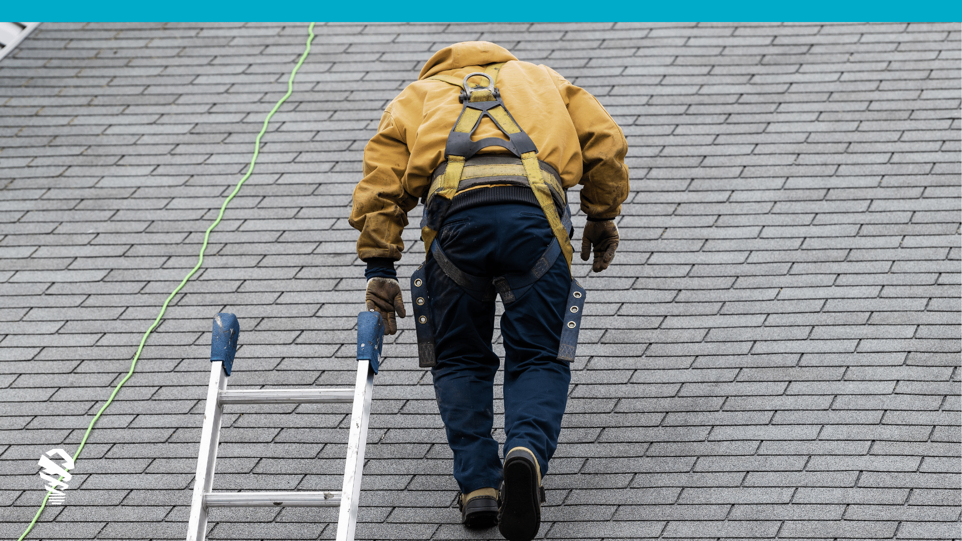
Before drone technology, solar professionals could easily spend an hour at a home performing a manual survey – exactly what many of our current customers were doing previously. This process could involve multiple employees, works vans with ladders, legally mandated harnesses in some states, handheld shading devices, and other tools and equipment. Most importantly, manually climbing a roof is dangerous! Walking a roof to identify vents, chimneys, and other penetrations takes time and is only the beginning. This information still needs to be passed to a designer to recreate in a CAD program for finalized plans. It’s a time-consuming process that takes even more time if a surveyor fails to get accurate measurements or misses a detail. Problems like these might result in re-surveying a job and recreating plans, which prevents solar companies from focusing on new sales and installs.
Drone Solar Site Surveys
When solar companies use drones for their site surveys, they save time on every step of the solar process—from the actual survey to exporting CAD files. Note, however, that there’s a difference between using a drone platform for site surveys and just using an off-the-shelf drone. A drone you pick up from the big box store will give you flight and imagery, but you need a full platform to really enhance your processes. Here’s a look at a drone platform for solar site surveys can work:
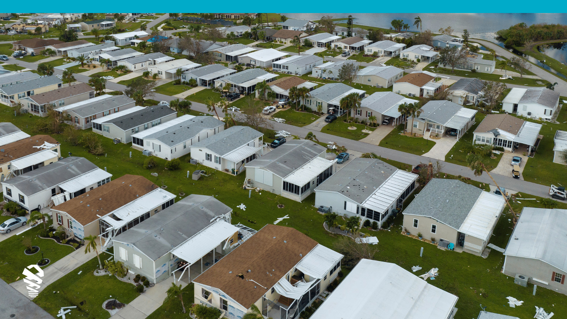
- With drone technology, solar pros can arrive on site and do the entire survey in as little as 35 minutes (depending on the company, size of roof, etc.). During the survey, an automated drone gathers dozens of ultra-high-res roof images which software uses to derive measurements, autogenerate 3D models, shading analysis, and so forth. Using solutions like IMGING, surveyors can also add ground photos to a job. This lets them bring together all the roof images as well as shots of the attic, electrical box, etc.
- After the drone solar site survey, all the drone-captured data is available for surveyors or designers to review. This includes imagery, 3D models, and measurements. Some platforms (like IMGING) also automatically detect damage to document the state of the roof, and highlight roof penetrations like vents, drains, and so forth.
- From there, users can export an auto-created 3D model as a .DXF file then import it directly into CAD, which can save up to 50 percent of the time it takes to create and finalize CAD designs.
Other Benefits of Solar Site Surveys
- Customer Satisfaction – Some solar companies (such as 1st Light Energy) have discovered that by integrating drones into their work flows for site surveys that they’re delivering a superior experience to their customers. They are onsite in less time and off the roof. They aren’t falling behind, they’re getting ahead and arriving early, which always gives a good impression to a customer.
- Winning More Business – Drones can help solar companies build their brand in multiple ways. One is that when they are doing a survey in a residential area, the customer’s neighbors see that the solar company is using a drone and are intrigued and want their homes surveyed as well (some have gotten 2-3X the leads due to a drone’s cool-factor). Thanks to the customer satisfaction benefits, customers will leave great reviews and recommend the company to friends and family. Lastly, drone footage gives solar companies great content to use on their websites and social media pages that shows the quality of work they do.
- Cutting Creation Costs – the business benefits by lowering the cost of each project. Each visit is faster and more accurate, automation reduces the time per job and removes human error, saving up to $.10 per watt installed for many of our customers.
- Up-to-date Shading Analysis – a drone solar site survey provides the most recent information available anywhere. Has that tree grown since the last aerial image was taken? Has new construction been erected next door? Drone imagery used in solar shading analysis ensures that your designers are getting the most accurate information anywhere including data that can’t be gathered in any other format, such as IMGING’s patented horizon report.
Conclusion
In the solar industry, companies need to use every advantage they can. The industry changes rapidly and is highly competitive. Using drones for solar site surveys offers several benefits and streamlines the whole process for solar companies. Drone solar site surveys are the answer when solar companies are trying to save time and better serve their customers.
Curious how drone technology might fit in your site survey process? Take a look at IMGING.


![How to Measure a Roof With a Drone [Updated April 2023]](https://www.lovelandinnovations.com/wp-content/uploads/2024/04/How-to-Measure-a-Roof-With-a-Drone-Updated-April-2023.png)


